


What to Know
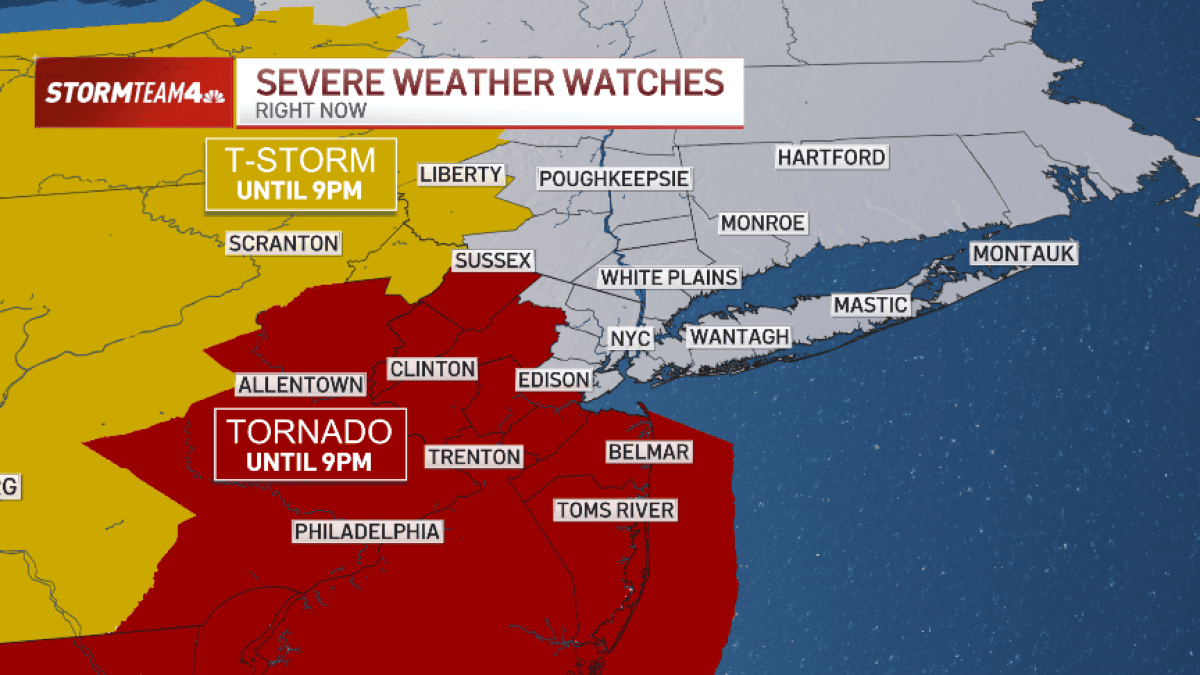
- The severe weather threat facing the NYC area has intensified. We’re looking at a high chance of flash floods and tornadoes. 65 mph+ winds are expected to cause damage.
- Heavy downpours could lead to flash flooding, especially in coastal and low-lying areas. Isolated higher rainfall amounts are possible.
- Overall, in terms of severe weather risk, the National Weather Service puts much of the tri-state at a level 3 on a scale of 5. Hail is also possible with this system.
- The strongest thunderstorms are projected to impact the Poconos, Catskills, and New Jersey; that’s where we see the greatest tornado and straight-line wind risk. Severe thunderstorm and flash flood warnings are widespread.
- Those most at risk of flooding will be in North/Central New Jersey through Metro New York City, Long Island, and coastal Connecticut.
- The storms blow out the Canadian wildfire smoke that has choked the tri-state in recent days. A cold front clears the system ahead of Sunday’s World Cup final.
A vigorous storm system impacting much of the northeastern United States is bringing strong-to-severe thunderstorms to the NYC area from late morning through the afternoon into the evening.
Multiple threats are on the table, including a high chance of isolated tornadoes and flash flooding. Damaging straight-line wind is extremely likely. Track the latest weather developments below.

